Share
OpenStreetMap (OSM) data is a valuable resource for people responding to humanitarian crises. OSM data on the location of buildings, waterways, and roads has been available on HDX for a few countries for some time but it was shared through a manual process which made it more difficult to maintain. We are excited to release a new integration that automates the regular flow of OSM data to HDX.
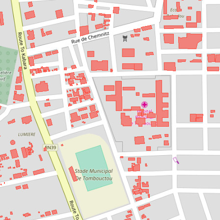
Over the past several months, we have been working with the Humanitarian OpenStreetMap Team to improve the existing HOT Export Tool and connect it to HDX. The link between the two platforms will create a standard set of OSM extracts as datasets on HDX with regular updates (monthly to daily, as needed). The extracts are provided in shapefile and geopackage formats, which were chosen because they work well with the large extracts that are produced in some cases. The datasets can be segmented by country or by region. Each country or region has four datasets:
- Roads
- Buildings
- Points of Interest
- Waterways
The integration is initially focused on HOTOSM layers from 9 countries in West Africa: Cameroon, Chad, Guinea, Liberia, Mali, Niger, Nigeria, Senegal, and Sierra Leone. The HDX team, through our Data Lab in Dakar, has been working in the region since early 2017 with a focus on speeding up the flow of data across partner systems. OSM data is often among the best data sources in these countries for locations of police stations, educational facilities, ports, and financial institutions due to contributions from local OSM volunteers.
You can see a full list of the available OSM extracts on HDX, but here are a few examples to explore:
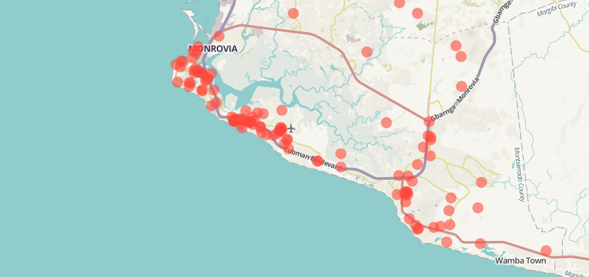
- Points of Interest in Liberia – Zoom into Monrovia on the geo-preview to explore locations, including schools and shops.
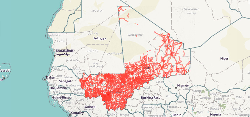
- Mali Roads – Discover bridges, highways and details on the type of road surface, smoothness, width and number of lanes.
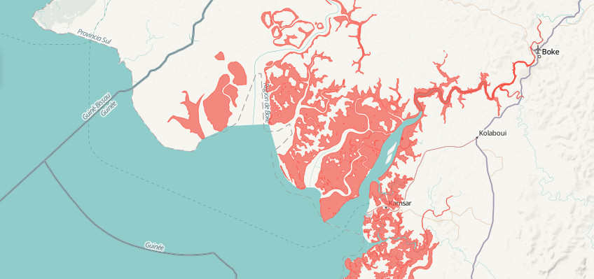
- Guinea Waterways – Both polygon and line representations of waterways are available.
We plan to add the OSM extracts for more countries in the coming months based on priorities from OCHA’s country and regional offices and emerging crises as they happen. New datasets can be generated on demand to meet the needs of specific crises. If you have ideas for additional OSM extracts that would be broadly useful to humanitarians, get in touch with us.
The technical development has been done in the HOT Export Tool repository. This means others can benefit from the code developed to support their own projects or contribute to the ongoing development of the tool.
For more details, please watch the short video below, courtesy of the HOT team. HDX will also host a webinar on how to use the tool on 24 May at 9am EST/3pm CEST at this link.
In early July, our Data Lab colleagues will attend the State of the Map Africa which will bring together African mappers and OSM users. The conference will be a great opportunity to get feedback on this new integration and increase our collaboration with the OSM community.
Thanks Hendrix
Really relevant